A dark patch in a satellite image may be water. A green patch may indicate vegetation. Yet neither a colour nor its return tells the entire story of an ecosystem. The Mesopotamian marshes provide a documented historical case in which these distinctions become particularly useful.
Wetlands are more than wet surfaces
The US Environmental Protection Agency explains wetlands through connections between water conditions, soils and living communities. Water can occur permanently or periodically at or near the surface. A dry appearance at one moment therefore does not automatically establish that a wetland has disappeared. Ecologically, timing and the distribution of water conditions over time matter too. A single visit can hardly capture that entire temporal dimension. Looking for water is a beginning, rather than a complete description of the system. [1]
The documented case is in Iraq
NASA presents the Mesopotamian marshes in a MODIS image sequence spanning 2000 to 2010. Its account describes extensive drainage followed by the beginnings of reflooding after 2003. This is a historical case: the decade-long sequence must not be read as a survey of conditions in 2026. Its bounded period helps make it useful. We can connect selected visible changes without turning them into a timeless account of either total destruction or complete recovery. The dates are part of the evidence. [2]
Water, vegetation and ecosystem are not interchangeable.
Three observational levels for the historical marsh example. This compares questions rather than presenting a measured recovery curve.
- WATER
Is the area inundated?
Dark water surfaces do not automatically establish returning vegetation.
- VEGETATION
What grows, and how do we identify it?
Colour needs image context and explanation; brown alone does not establish absent plants.
- CONNECTIONS
Which links exist?
Water or vegetation extent alone does not describe complete ecological restoration.
Hydrological context follows EPA; image interpretation and historical change follow NASA. [1] [2]
Water returning does not instantly restore a marsh
After 2003, barriers were opened or breached and areas flooded again. NASA explains that dark water surfaces did not necessarily indicate that vegetation had already returned. This separates two questions: has an area been inundated again, and have plant communities developed there? The second answer does not follow automatically from the first. Reflooding changes conditions. What ecological structures develop requires further observation. A visible improvement can be identified specifically without immediately assigning every hoped-for property to it. [2]
Brown can also tell a misleading story
For 2007 and 2008, NASA cautions against quickly interpreting brown surfaces as absent vegetation. Additional image representations helped explain the situation. The example shows why a familiar colour association is not a sufficient measurement method. “Green means healthy” and “brown means dead” are easy stories to read, but unreliable general rules. What an image conveys also depends on its presentation. Its caption is therefore an important part of the source, rather than decorative text beneath a self-explanatory picture. [2]
The sequence was not a smooth recovery
The account describes drought in 2009 and presents mixed conditions in 2010. Returning water and vegetation did not form a simple continuously rising curve. That historical observation reveals an important distinction: an improvement at one moment does not guarantee the same condition the following year. Conversely, later deterioration does not erase an earlier observed return. An accurate narrative retains both states and their dates, instead of selecting only the ending we might prefer. Sequence matters as well as direction. [2]
Connections belong to the system
NASA distinguishes recovered water and vegetation from complete restoration of the earlier ecosystem, also addressing connectivity. A similar total area need not have the same connections. As a conceptual example, two equally large areas can be arranged differently: one connected space differs from several separate pieces. This is not an additional survey of the marshes. It explains why area alone cannot complete an ecological assessment. What lies between the pieces can be as relevant to the question as the total drawn around them. [2]
What else we would want to know
After comparing images, useful questions remain. Which plants were recorded on the ground? How long was water present? Which connections existed between areas during the period being considered? These identify additional information we would need, not new findings established here. The EPA introduction explains why water conditions and living communities belong together. The historical NASA case shows why different visible features cannot simply replace one another. A good explanation starts with appropriate questions and identifies the answers still missing. [1] [2]
Change has more than one voice
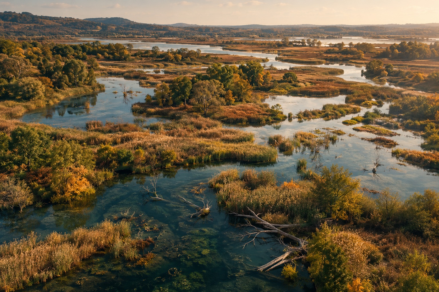
Our artistic wetland landscape presents a mosaic of water and vegetation. It does not document the Iraqi marshes. Its role is to direct attention towards relationships: between areas, water and plants, and one condition and the next. “Nothing stands still” also means that recovery has no single final picture. We understand it better as an observed development with an identified period, several characteristics and explicitly limited claims. The result can be compelling without reducing a complex ecosystem to one reassuring colour.
Another view of change.
Watch free on ARTE. The films complement this story; they do not replace the specialist sources discussed above.
Animal (R)evolution — our Earth
Animals respond to changing habitats in different ways. An opportunity to distinguish behaviour, physiological responses and evolution.
While watching, consider: Which observations support the explanation, and over what period were they made?
Listed by ARTE as available until .
Watch on ARTE (German) ↗Listing pages checked on 25 October 2026. Regional restrictions and changes may apply. Links lead to the German version; ARTE may offer other audio or subtitle options. No video player is loaded here.
An artistic wetland scene, not a satellite image of the Mesopotamian marshes. The cards compare observational levels; they are not a measured recovery scale.
Institutional introduction updated 16 April 2026: water conditions shape soils and communities, and seasonal dry periods can occur. Used for ecological relationships, not legal delineation or a present-day assessment of Iraqi marshes.
NASA Earth Observatory · World of Change: Mesopotamia Marshes ↗
Historical MODIS sequence for 2000–2010. Explains drainage, reflooding after 2003, potentially misleading colour differences and later drought. Returning water or vegetation is not equated with complete ecological restoration. The sequence does not describe conditions in 2026.
EPA and NASA checked in the integrated browser on 24 October 2026. NASA’s image account concerns 2000–2010 only; no present-day ecological condition is asserted.